Date Visited: 12/5/2019
Timing is everything! When we decided to explore Ravine Gardens State Park in Florida it was after a fairly productive hurricane season. Not only that, we were a little to early for the Azalea bloom which is what the Gardens are most known for. However, we weren’t going to let that deter us from having a good time.
We settled on a scenic drive to the bottom of the ravine. Or so we thought. It turns out the road through the park that drove around and through the ravine was washed out earlier by one of the many hurricanes that year. We regrouped again and decided to take a hike to the bottom of the ravine instead.
We made use of the visitor center and learned a little about the history of the park before getting our passport book stamped.
The park opened on July 4, 1933. It covers 146 acres and has over a quarter million plants in the formal garden and through the park. Currently there are 14 different varieties of azaleas growing in the park. If you don’t want to miss the height of the bloom (as we did) you should plan to visit between late December and March.
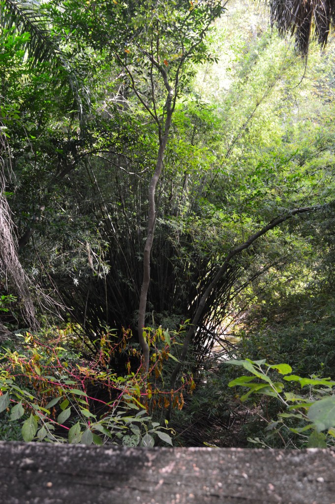
The ravine is a steephead ravine. That means that the stream valley is formed by groundwater seeping through the sand and onto the surface. This causes the sand to slope down and the ravine is lengthened from the bottom up instead of from the top down as most gullies are. The ravine runs east to west and has a high elevation point of approximately 120′. At the bottom of the ravine is a spring fed stream called Whitewater Branch. The stream is fed by over 100 springs and weeps.
In 1999 the park was placed on the National Register of historic places due in part to the historical significance of the development of the park during the great depression; The partnership forged between local and federal governments provided jobs and economic stability to the region during those difficult times.
With our brains full of new information we were ready to head into the park for a short hike. This is when we discovered that they were fresh out of trail maps. We said what the heck and headed down the Azalea trail. What could be so hard about a walk in the park anyway. It wasn’t like we could get lost – or could we?
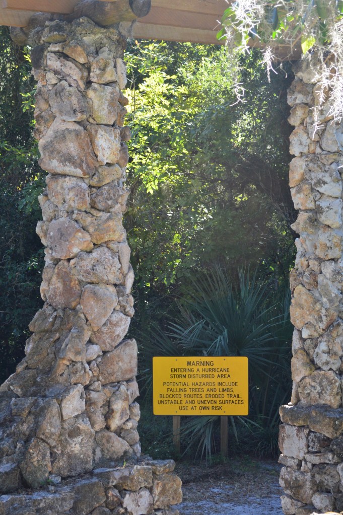
Of course the trail started with the warning sign above. I thought, Great! Nothing like starting down a trail with no map that warns of the possible dangers to life and limb!
I tried to use a trail app that I had on my phone to plot our path, but the app I was using at the time was dependent on having a cell signal, which we quickly lost once we started heading downhill. However, the paths were well worn so we just kept following trails and did eventually make it to the bottom of the ravine. Coming back out we ended up on one of the trails that had been severely damaged during the hurricanes. There were a few sketchy spots where the footpath was no wider than 6″ and the bank was a steep eroded slope that gave way with every step. This is when I started to think we might be on some kind of unofficial trail. I wish I had taken pictures, but at the time I was mostly concerned with not tumbling down 100′ of slope! But if the kids could have seen what we managed to navigate they’d think we had turned into mountain goats.
Unlike me, Mr. McGee is pretty confident in his sense of direction and kept insisting we were going the right way toward the visitor center. He was right. We eventually made our way back up the ravine. What we didn’t know was that we had snaked back and forth until we were on a trail that was actually closed to the public due to the dangers created by the year of bad weather. When we reached the end of the trail, or the beginning if we had a map to guide us initially, it was clearly marked that the trail was closed. Oh well! We survived.

When we got home I looked to see if there was a trail map online so we could figure out where we had walked. It seems we had walked a portion of both trails in the park, but had walked neither one completely. Which means – we need to go back!
The two OFFICIAL trails in the park are the Azalea trail and the paved loop trail.
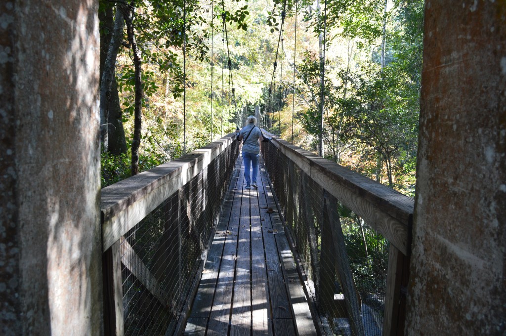
The Azalea trail is 2 1/2 miles with suspension bridges, steep stone staircases and narrow steep paths. This is where a portion of the trail was closed (except to us apparently). I would say that this was a moderate trail. It was occasionally rugged, with roots to scramble over, fallen trees to stoop under and it was muddy in some places.
The paved loop trail is 1.8 miles and is also the main park drive loop. It goes around the ravine system and eventually winds down to the bottom of the ravine. We walked a portion of this one here-and-there as the paths crossed one another in a few places. We did see the incredibly large portion of the road that had been washed away causing the driving tour to be closed.
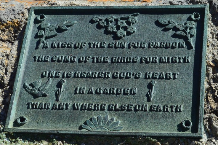
We both really liked this park. I think if we had a map to guide us and had visited when the flowers were in bloom it would have been more memorable as a nature excursion and less as an “experience.” But sometimes these little journeys that don’t quite turn out the way that you thought they would are what makes the best long-term memories. And speaking of that!
Next week we visit another beautiful old plantation and Mr. McGee comes frighteningly close to getting bit by a coral snake. Until then…
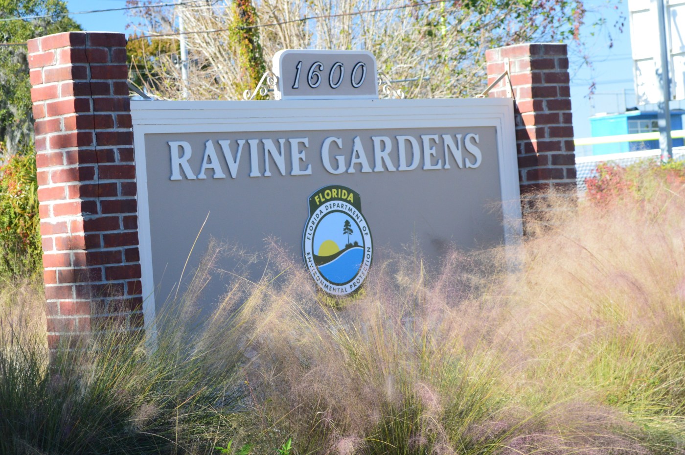
Ravine Gardens State Park
1600 Twigg St.
Palatka, FL 32177
(386) 329-3721
WEBSITE
Who we are, What we do, How we got started and How you can help
If you are new here and you would enjoy hearing about our journeys and learning along with us, please consider subscribing and if you want to know how it all began read our first post.
As always, if you want to help support this site please like, click, share, all that stuff! Or, you can make a donation or buy merchandise HERE. Donations will be acknowledged publicly the following week, so if you wish to remain anonymous please let us know.


When you click other links on our website and make purchases we may earn a small commission. However, this does not impact our reviews and comparisons. By using the links on this website you help to support us without any additional cost to you.


")


")


